Grapevine reopened after winter storm prompts shutdown of 5 Freeway, snarls traffic through Cajon Pass


The 5 Freeway was reopened on Tuesday afternoon in the Grapevine, the day after traffic in that area and in the Cajon Pass was severely impacted following a winter storm that brought several inches of snow to Southern California mountains.
All southbound lanes of the 5 Freeway were closed Monday near Grapevine Road, and the northbound lanes were shut down at Parker Road in Castaic just before 4 p.m. after briefly reopening late morning. Caltrans advised drivers traveling south from Kern County to take SR-166 to the 101 Freeway to avoid the closure.
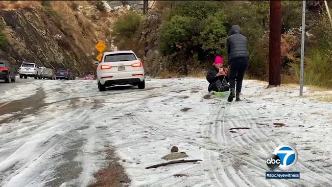
Several passenger vehicles and semi-trucks were seen stranded on icy roads near the 5 Freeway on Tuesday, possibly after attempting to circumvent the closure.
The interstate was fully reopened to traffic shortly before noon.
The second of three winter storms brought frigid temperatures, strong winds and about 2 inches of snow to the region Monday morning. Blowing snow and decreased visibility created dangerous driving conditions on the 15 Freeway.
RELATED: In between storms, Southern Californians flock to the mountains to enjoy the snow
A winter storm warning for the mountain areas above 3,000 feet expired at 10 p.m. Monday, and the NWS warned that the heavy and low-elevation snowfall could make mountain roads especially treacherous during the storm.
"The Cajon Pass and the I-8 corridor will likely be impacted. The Ortega Highway may be impacted as well due to the low snow levels expected,'' the NWS warned.
Forecasters said elevations between 3,000 and 4,000 feet could see total snow accumulations of up to 6 inches and 5 to 10 inches of snow above 4,000 feet.
Elevations above 5,000 feet could see up to a foot of snow dumped on them by midweek, the NWS said.
RELATED: Latest SoCal forecast: Local mountains could see more than a foot of snow this week
A cold front is expected to accompany the storm, bringing strong arctic winds and lowering temperatures to frigid levels, according to forecasters.
The storm will move off to the east on Tuesday with the middle of the week seeing more temperate weather before a third storm passes over the region on Friday, bringing "more substantial precipitation and higher snow levels,'' the NWS said.
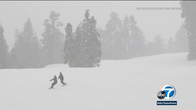
So far, the snowfall has been be a boon for skiers and snowboarders headed for the slopes.
Snow Valley Mountain Resort in Running Springs in the San Bernardino Mountains reported receiving 11 to 13 inches of new snow overnight.
Mountain High in Wrightwood reported receiving 21 inches of new snow in the last week, with 12 to 18 inches falling overnight.
Snow Summit and its sister ski resort Bear Mountain in the San Bernardino National Forest reported getting 12 to 14 inches of snow in the last 24 hours.
Motorists heading to ski destinations or otherwise traveling on mountain roads are advised to come prepared with tire chains, as well as an extra flashlight, food and water in their vehicles in case of an emergency.
RELATED: Winter storm brings rare snowfall to Malibu
City News Service contributed to this report.