SoCal communities left with mud, damage after days of wet weather

KABC logo
Last updated: Saturday, December 27, 2025 8:33AM GMT
ABC7 Eyewitness News

After days of storms throughout Christmas week, several Southern California communities are dealing with storm damage from the rain, high winds, flooding and mudslides.

The National Weather Service (NWS) confirmed that an EF-0 tornado touched down in Boyle Heights on Christmas Day, leaving behind damaged roofs, broken windows and debris.

After a historic holiday storm, sunshine and dry conditions are finally returning to Southern California this weekend. But the break from wet weather could be short-lived as more rain is set to arrive New Year's Day.

KABC logo
Dec 23, 2025, 9:31 PM GMT

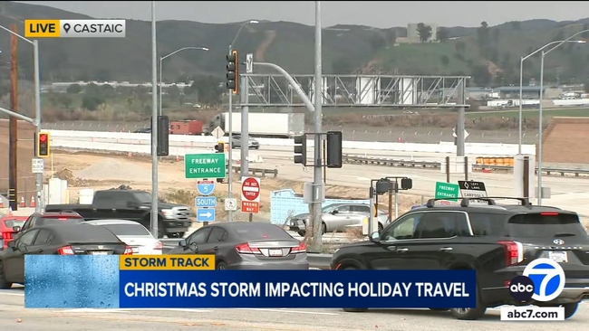
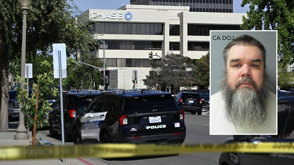
City officials say stay off roads due to possible flooding, mudslides in mountainous terrain

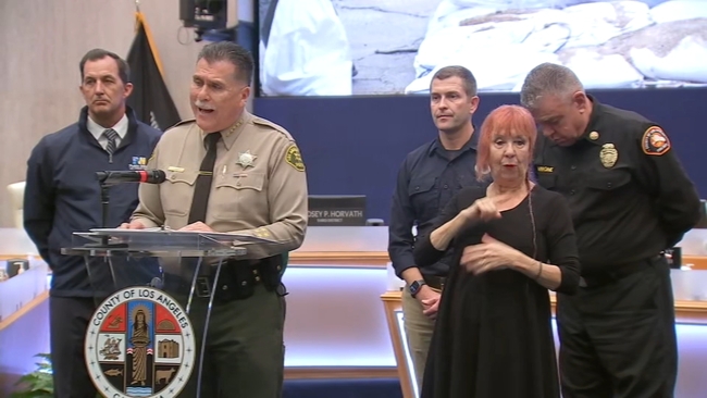
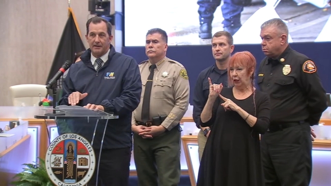
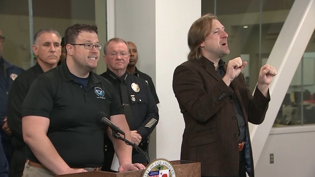
City officials took turns offering advice ahead of the evening storm, urging people to stay off the roads.

Some areas, like Burbank, began to see light rain early Tuesday afternoon, but the bulk of the rain is still hours away.

During a press conference, Dr. Ariel Cohen, the Meteorologist in Charge of the National Weather Service in Los Angeles, said a storm of this severity affects the area every five to 10 years.

Dr. Ariel Cohen, the Meteorologist in Charge of the National Weather Service in Los Angeles, speaks at a news conference on storm preparations across the city.

He also downplayed the threat of mudslides in the burn scar areas saying, "rainfall rates may only approach or marginally exceed the debris flow thresholds, so while debris flows on the burn scars will be possible, in general, they should be minor to moderate."

However, he did stress the threat of urban flooding as well as mudslides in mountainous terrain.

"With as much total rain as what we're expecting, widespread, significant flooding will likely occur in urban and poor drainage areas, especially in and around the higher terrain, there will almost certainly be numerous rock slides and mudslides along with areas of severe flooding in urban locations and along freeways, which is why being out on the roads will be exceptionally dangerous," he said.

Leo Stallworth Image
Dec 23, 2025, 8:49 PM GMT

Christmas week storm could impact roads, driving conditions

With strong rain set to soak Southern California for the next several days, officials and truckers who often use the road are urging drivers to use caution.

The heaviest rain will hit the region starting late Tuesday and through Christmas Eve morning.

With strong rain set to soak Southern California for the next several days, officials and truckers who often use the road are urging drivers to use caution.

Officer Carlos Burgos Lopez with the California Highway Patrol recommends that folks who don't need to travel stay off streets and freeways.

"The biggest thing we see is alot of people are involved in crashes with the center divider, people losing control," he said. "So make sure you're checking your vehicle's equipment. Tires, breaks, lights, windshield wipers."

Truck driver Frank told Eyewitness News that drivers should keep a safe distance and go slower than normal.

"Don't try to rush it... If normal is 55, then do 45, 50 and just try to stay safe," he said.

David González Image
Dec 23, 2025, 8:18 PM GMT

Preparations underway for incoming storm, LA County opens shelter locations

Los Angeles County leaders are urging residents to stay alert and heed warnings ahead of the bulk of the storm - whether they live on the coast, in the mountains or in recent burn scar areas.

The National Weather Service is warning of the excessive risk for flash flooding, as well as rock and mudslides. Evacuation warnings are in effect for several areas.

During a press conference ahead of the storm Tuesday, county leaders said that people should avoid unnecessary travel if possible.

Los Angeles County leaders are urging residents to stay alert and heed warnings ahead of the bulk of the storm - whether they live on the coast, in the mountains or in recent burn scar areas.

"The last thing we want to do is ruin anybody's Christmas plans," said L.A. County Sheriff Robert Luna. "... But we have an obligation as a county family to wave the flag and say there's a threat. A real threat out there."

Meanwhile, the county is opening three emergency shelter locations for anybody who needs a safe place to go during the storm.

KABC logo
Dec 23, 2025, 6:47 PM GMT

LA County sheriff on evacuation warnings, orders: 'Pay attention to both'

Evacuation warnings and orders are in place for Los Angeles County ahead of the storm, the recent burn areas like the Palisades and Eaton fire zones.

Los Angeles County officials hosted a press conference Tuesday morning, urging residents to follow any warnings and orders and to leave early if they've been told to evacuate.

"When we're talking about evacuation orders, that means that we have determined, as a team, primarily Public Works, that there's an immediate danger, or a potential immediate danger, to your safety and the safety of your family," said L.A. County Sheriff Robert Luna. "If we're talking about evacuation warnings, that's a potential warning. You need to pay attention to both."

Los Angeles County Sheriff Robert Luna speaks at a news conference on Tuesday, December 23, as evacuation warnings and orders were issued ahead of a powerful Christmas week storm.

Mark Pestrella, the director of L.A. County Public Works, said there's going to be a lot of rain over a short period of time, so many areas are being closely monitored.

"We haven't had an atmospheric event like this in some time, probably more than four or five years now," he said. "These events do produce high quantities of water ... so the basin is going to attempt to drain a lot of water in a short period of time."

Pestrella said the heaviest rain is expected Tuesday night through Wednesday morning and again on Christmas Day.

"We've identified over the last year vulnerable properties ... some 383 properties are considered needing evacuation," he said when discussing evacuation warnings and orders. "We also have an additional 200 orders going out to city areas."

Director of Los Angeles County Public Works Mark Pestrella speaks at a news conference on Tuesday, December 23, as evacuation warnings and orders were issued ahead of a powerful Christmas week storm.

A flood watch will be in effect from Tuesday afternoon through Thursday evening for much of the county, with mud and debris flows possible across foothill and mountain areas, including recent burn scars, according to the National Weather Service.

The city of Los Angeles issued evacuation warnings that will be in effect from 11 a.m. Tuesday through 11 p.m. Thursday for residents of Pacific Palisades and Mandeville Canyon near the Palisades Fire, and south of Runyon Canyon near the Sunset Fire area.

City News Service, Inc. contributed to this report.