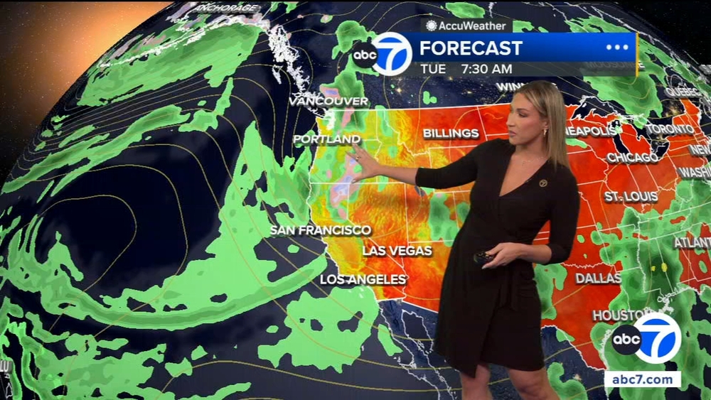
NWS says upcoming storms not expected to end drought, but could cause problems in burn areas


Could a set of storms heading toward Southern California mean an end to the drought in the region?
Experts with the National Weather Service say probably not, but thanks to considerable rainfall over the last two winters, the water levels at reservoirs across the state are well above the historic average for this time of year.
"Because of the two wet winters we had, we were able to fill up the reservoirs," said hydrologist Jayme Leber with the National Weather Service. "The water supply is in really good condition."
Leber added that while Southern California is in the midst of a significant drought, the northern part of the state is not.
"The state is set up to withstand two years of back-to-back drought," said Leber. "That is very typical of a La Niña weather pattern, where the storm track gets pushed north. And the southern part of, not only California, but the United States tends to be drier than normal."
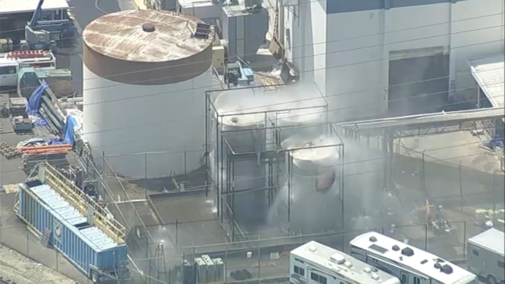
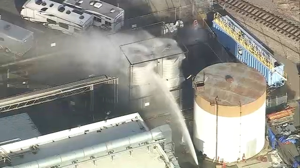
While the expected storms could bring much-needed precipitation to the region, if the storm arrives as currently forecasted, recent burn areas could see mud and debris flows.
"We do have concern of hitting some of the USGS thresholds for the burn scars," said David Gomberg, a forecaster with the National Weather Service. "The greatest concern is when we go into Wednesday night, that's when a fast moving cold front moves through all of Southern California. It actually looks pretty vigorous to be honest."
Gomberg expects one to two feet of snow in the local mountains, and said the snow level could drop significantly by Thursday.
"We could be seeing snow levels crash down as low as 3,000 feet, so the impact with that becomes some of the low elevation passes, especially I-5 near Grapevine," he said. "Also, even Highway 14, (near) Agua Dulce, Acton, and out toward the foothills of Palmdale. That could be at risk on Thursday morning."