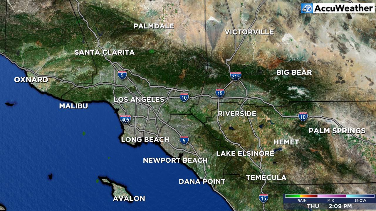
Southland Overview

- Flood Advisory
* WHAT...Flooding caused by excessive rainfall is expected. * WHERE...Palos Verdes * WHEN...Until 100 AM PST. * IMPACTS...Minor flooding in low-lying and poor drainage areas. Water over roadways. Shallow mudslides and rockslides possible. * ADDITIONAL DETAILS... - At 1052 PM PST, Doppler radar indicated heavy rain due to thunderstorms. Minor flooding is ongoing or expected to begin shortly in the advisory area. - Some locations that will experience flooding include... Rancho Palos Verdes, Torrance, Rolling Hills, Port of Los Angeles, Harbor City, Los Angeles Harbor and Wilmington. - http://www.weather.gov/safety/floodMore
- Flood Advisory
* WHAT...Flooding caused by excessive rainfall continues. * WHERE...A portion of southwest California, including the coastal areas of Los Angeles County. * WHEN...Until midnight PST tonight. * IMPACTS...Minor flooding in low-lying and poor drainage areas. Overflowing poor drainage areas. * ADDITIONAL DETAILS... - At 1009 PM PST, Doppler radar indicated heavy rain. Minor flooding is ongoing or expected to begin shortly in the advisory area. - Some locations that will experience flooding include... Venice, Culver City, Santa Monica, Beverly Hills, Century City, Marina Del Rey, Brentwood, Bel Air, Interstate 405 through the Sepulveda Pass, Sherman Oaks, El Segundo, West Los Angeles, Playa Del Rey, Westchester and Coldwater Canyon through the Hollywood Hills. - http://www.weather.gov/safety/floodMore
- Flood Advisory
* WHAT...Flooding caused by excessive rainfall continues. * WHERE...East Ventura County from Camarillo through Moorpark north to Topatopa Peak including the Mountain Burn Scar. * WHEN...Until midnight PST tonight. * IMPACTS...Minor flooding in low-lying and poor drainage areas. Water over roadways. Overflowing poor drainage areas. * ADDITIONAL DETAILS... - At 1001 PM PST, Doppler radar and automated rain gauges indicated heavy rain. Minor flooding is ongoing or expected to begin shortly in the advisory area. - Some locations that will experience flooding include... Fillmore, Santa Paula and Somis. - http://www.weather.gov/safety/floodMore
- Flood Advisory
* WHAT...Flooding caused by excessive rainfall is expected. * WHERE...Eastern Ventura County and portions of Western Los Angeles County from west of Santa Monica through Malibu and up to the Santa Susana Mountains, including the Franklin, Palisades, and Kenneth Burn Scars. * WHEN...Until midnight PST tonight. * IMPACTS...Minor flooding in low-lying and poor drainage areas. Water over roadways. * ADDITIONAL DETAILS... - At 951 PM PST, Doppler radar indicated heavy rain due to thunderstorms. Minor flooding is ongoing or expected to begin shortly in the advisory area. - Some locations that will experience flooding include... Thousand Oaks, Simi Valley, Malibu, Woodland Hills, Chatsworth, Northridge, Encino, Agoura Hills, Van Nuys, Santa Monica, Canoga Park, Calabasas, Topanga State Park, Porter Ranch, Pacific Palisades, Malibu Creek State Park, Granada Hills, and Interstate 405 through the Sepulveda Pass. - http://www.weather.gov/safety/floodMore
- Winter Weather Advisory
* WHAT...Periods of snow expected. Total snow accumulations of 2 to 4 inches with local amounts up to 6 inches. Wind gusts up to 35 mph. Snow levels 3000 feet, but occasionally to 2500 feet in heavier showers. * WHERE...Eastern Antelope Valley Foothills and Western Antelope Valley Foothills. * WHEN...From 10 PM this evening to 2 PM PST Monday. * IMPACTS...The hazardous conditions could affect the Monday morning commute.More
- Winter Weather Advisory
* WHAT...Periods of snow expected. Accumulations of a dusting to 2 inches. Wind gusts up to 35 mph. * WHERE...Antelope Valley. * WHEN...From 10 PM this evening to 2 PM PST Monday. * IMPACTS...The hazardous conditions could affect the Monday morning commute.More
- Winter Storm Warning
* WHAT...Heavy snow expected. Total snow accumulations up to 14 inches. Wind gusts up to 35 mph. Snow levels around 3500 to 4000 feet through this evening, then down to 3000 feet tonight and Monday. * WHERE...Eastern San Gabriel Mountains. * WHEN...Until 4 PM PST Monday. * IMPACTS...Travel could be very difficult to impossible. The hazardous conditions could affect the Monday morning commute.More
- Winter Weather Advisory
* WHAT...Periods of snow. Snow accumulations 4 to 8 inches, locally up to one foot. Wind gusts up to 35 mph. Snow levels around 3500 to 4000 feet lowering to 3000 feet tonight and Monday. Light snow accumulations are possible on Interstate 5 around the Grapevine and near Escondido Summit on Highway 14. * WHERE...Interstate 5 Corridor, Northern Ventura County Mountains, Santa Barbara County Interior Mountains, Southern Ventura County Mountains, and Western San Gabriel Mountains and Highway 14 Corridor. * WHEN...Until 4 PM PST Monday. * IMPACTS...Travel could be very difficult. The hazardous conditions could impact the Monday morning commute.More
- Flood Watch
* WHAT...Flash flooding and debris flows caused by excessive rainfall are possible in and near the recent burn scars. * WHERE...The Eaton, Palisades, Franklin, Bridge, and Hughes burn scars. * WHEN...Through Monday afternoon. * IMPACTS...Heavy rain over the burn scars could trigger debris flows. * ADDITIONAL DETAILS... - Rain rates may exceed USGS thresholds for debris flows through Monday afternoon. There is a slight chance of thunderstorms during this time. - http://www.weather.gov/safety/floodMore


