Heavy rain causes dangerous road conditions across SoCal


LOS ANGELES (KABC) -- A spring storm system dumped heavy rain across Southern California Saturday and left several people in dangerous situations, including a dramatic water rescue and a frightening crash.
Storm drain rescue in Inland Empire
Early Saturday morning, two homeless people living in a drainage tunnel in Bloomington were rescued after one of them was heard calling for help, authorities said.
It happened around 8:15 a.m. near Commercial Street and Linden Avenue. Authorities said the two people were stuck and weren't able to get out as rain caused water to move swiftly in the channel.
Crews with the San Bernardino County Fire Department used a boat to rescue the two people. They were evaluated at the scene but did not wish to be transported to a hospital.
Dangerous Van Nuys crash
Overnight in Van Nuys, a car spun out on the 101 Freeway after a passing vehicle struck it. It happened around 2 a.m. on the westbound lanes, just east of the 405 Freeway, as heavy rain was coming down.
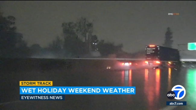
Video obtained by Eyewitness News shows the frightening crash. No injuries were reported.
Crash leaves man's car submerged in water in OC
In Fullerton, a car was found mostly submerged in water following a crash.
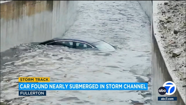
According to a California Highway Patrol spokesperson, a driver, identified only as a man in his 20s, spun out of control and crashed into a ravine.
The driver wasn't injured, but the black sedan he was driving was left mostly submerged in water. The CHP spokesperson said it was too dangerous for a tow company to remove the vehicle from the ravine.
In video obtained by ABC7, a portion of a nearby fence appeared to be bent out of shape.
The CHP spokesperson said they "have to point until the water level subsides and it's safe for the tow company to remove the vehicle."
Dozens of vehicles get stuck in snow near Running Springs
It was a treacherous trek up to Big Bear for those who braved the blizzard-like conditions on Saturday.
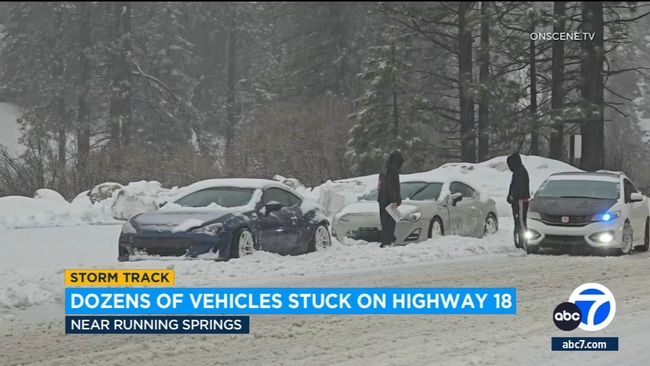
Video from Highway 18 between Running Springs and Bear Valley Dam showed dozens of vehicles, including a semi-truck, buried in snow. Some even slid off the road.
Traffic bottlenecks also contributed to the mess, making it more difficult for snowplows working in the area.
Spring storm impacts this weekend
Forecasters said minor urban flooding was possible in many parts of Los Angeles County, including Long Beach, Acton, Pasadena, Alhambra, Whittier, West Covina, downtown Los Angeles, Glendora, Burbank, Universal City, Hollywood, San Dimas, Inglewood, Pomona and Culver City.
The storm will be accompanied by gusty winds and the possibility of thunderstorms Saturday night into Sunday, with the best chances on Sunday.
Forecasters said some storms could produce strong winds, hail, heavy downpours and a remote risk of a tornado.
"These thunderstorms on Sunday could produce small hail, gusty winds, frequent lightning and possibly even a small tornado or waterspout,'' the NWS said.
Caltrans said Interstate 5 was open through the Grapevine, but drivers should expect high winds, rain, possible snow and CHP escorts.
Forecasters said one to two feet of snow could fall at elevations above 6,000 feet, "with even higher amounts at the highest peaks.''
"Snow levels should remain above the Grapevine but there is a 10 percent chance of a snow burst under a thunderstorm,'' according to the NWS.
"Wind gusts from 60 to 65 mph will pummel the mountains as well but they will diminish Saturday afternoon.''
A winter storm warning will be in effect through 11 p.m. Sunday for the San Gabriel Mountains and the 5 and 14freeway corridors, with forecasters warning that "travel could be very difficult to impossible.''
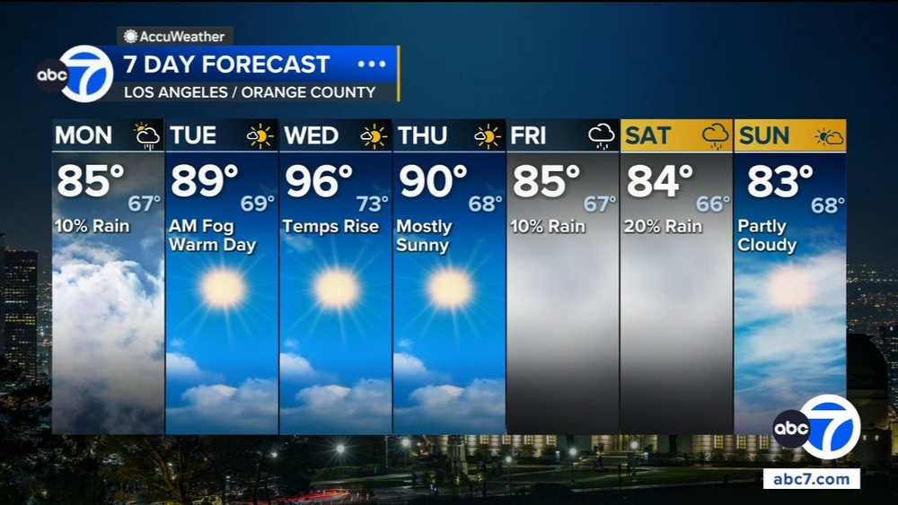
Cooler temperatures were also in the forecast for Easter weekend, with most areas not getting out of the 50s.
Temperatures were expected to warm slightly by Monday, as much as 10 degrees in some areas, "but maximum temperatures will still end up 4 to 8 degrees below normal.''
Tuesday and Wednesday were expected to see a warming trend with many highs in the 70s, before cooler temperatures move in again heading into next weekend.
City News Service, Inc. contributed to this report.