The heaviest rain slammed into the region Thursday night into early Friday morning, triggering flash floods and mudslides across Los Angeles, Orange and Ventura counties, as well as the Inland Empire.
Friday will have scattered showers as the rain moves out of the area, leaving residents to clean up after the storm.
MAP: LA burn scar areas under evacuation warnings due to storm
Evacuation warnings have been issued for burn scar areas in the Los Angeles area ahead of what's likely to be the biggest storm of the season.
The Los Angeles Fire Department announced that evacuation warnings will take effect at 7 a.m. Thursday through at least 2 p.m. Friday. LAFD has provided a map of the areas affected.
Feb 14, 2025, 1:31 AM GMT
New flash flood warning issued in LA County
A new flash flood warning has been issued in Los Angeles County for a portion that stretches from East Los Angeles to the west, Pasadena to the north, Claremont to the east and La Mirada to the south. The warning is in effect through 9 p.m.
Feb 14, 2025, 1:16 AM GMT
Severe thunderstorm warning issued for large portion of L.A. County
A severe thunderstorm warning was issued by the National Weather Service for a large portion of east-central Los Angeles County.
The warning is in place until 630 p.m. Thursday.
The NWS said the storm could produce up to 70 mph wind gusts, causing considerable tree damage to mobile homes, roofs and outbuildings.
Muddy runoff rushes through canals in Eaton Fire zone
In the Eaton Fire zone, the storm dropped a lot of rain water - little more than a month too late. With a storm dumping rain over the Eaton Fire burn zone, runoff canals in Sierra Madre's Upper Canyon community are running black with muddy water.
With the storm dumping rain over the Eaton Fire burn zone, runoff canals in Sierra Madre's Upper Canyon community are running black with muddy water.
Feb 14, 2025, 1:11 AM GMT
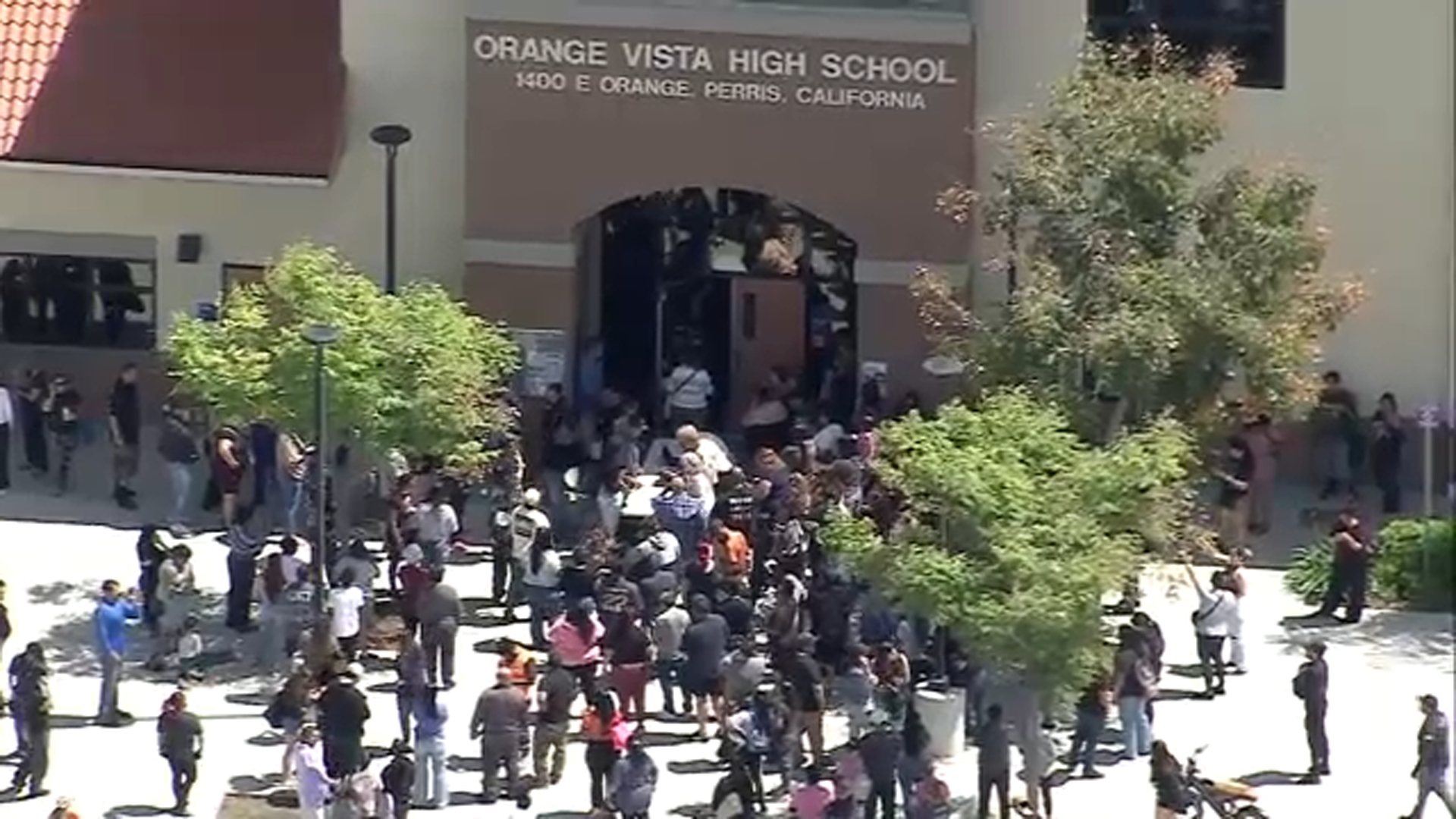
Mandatory evacuation order issued for Line Fire area in Highland
A mandatory evacuation order has been issued for the Line Fire burn area in Highland.
The evacuation order applies to the area south of Greenspot Road between Church and Merris streets due to potential mud and debris flow from storm, according to San Bernardino fire officials.
A Red Cross evacuation center was established at Citrus Valley High School at 800 W. Pioneer Ave in Redlands.
A mandatory evacuation order has been issued for the Line Fire burn area in Highland.