Seen from space: Map shows surface displacement from Ridgecrest earthquakes
ByABC7.com staff 
Thursday, July 11, 2019

PASADENA, Calif. (KABC) -- Take a look at this!
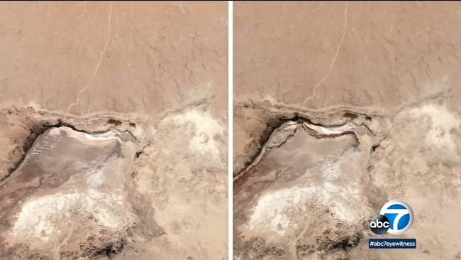
An image shows the damage from the two powerful Ridgecrest earthquakes as seen from space.
Scientists at JPL in Pasadena used radar data from satellites to produce a map showing surface displacement from the earthquakes.
They show how the quakes warped the ground across dozens of square miles.
Scientists will use the images to assess damage and map the new faults.
BEFORE AND AFTER PHOTOS: Massive crack opens in earth after Ridgecrest earthquake
Copyright © 2026 KABC Television, LLC. All rights reserved.