Spring storm dumps fresh snow on San Bernardino Mountains; chains required for several roads


RUNNING SPRINGS, Calif. (KABC) -- A spring storm dumped fresh snow amid frigid temperatures overnight Thursday in the San Bernardino Mountains, prompting the requirement of tire chains on several roads and highways.
The weather system brought snow flurries and near-whiteout conditions to the area. Some drivers simply pulled over to wait out the storm, and snowplow crews were seen working to clear Highway 330.
The icy conditions were no deterrent for some visitors who were determined to enjoy the fresh powder.
"About halfway up the mountain it wasn't too bad," said Pomona resident Marco Moran. "But now, when we get closer to the resort, it's getting pretty dicey."
Running Springs resident Isaac, who declined to give his last name, expressed frustration over people "who are putting chains or cables or snow socks on in the middle of the road -- blocking plows, blocking access ways for people to their homes, blocking access ways to resources here in town.
"And so it just becomes a problem really for everyone," he said.
"Snow levels will start out at 5,000 feet ... but will plummet to 3,000 feet ... and will remain near that level Friday," the National Weather Service said. "Snow may fall as low as 2,500 feet under any convective burst."
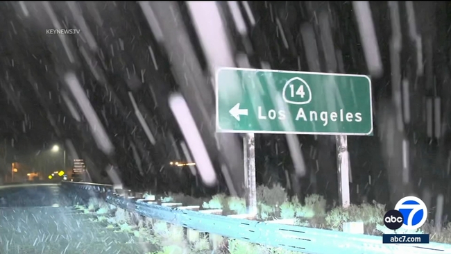
A winter storm warning will be in effect until 11 p.m. Friday in the San Gabriel Mountains and the 14 Freeway corridor, with forecasters predicting possible accumulations of 10 inches above 6,000 feet, 3 to 6 inches as low as 5,000 feet and 3 inches at 3,000 feet -- all accompanied by winds gusting up to 45 mph.
A less severe winter weather advisory will be in effect until 11 p.m. Friday for the Antelope Valley foothills and the 5 Freeway corridor. Those areas could receive up to 3 inches of snow.
"The stormy weather is expected to start tapering off Friday evening with dry weather expected by sunrise Saturday morning," according to the Weather Service. "However, temperatures will remain below normal, and actually be quite chilly in the morning, especially away from the coast where overnight lows will be in the 30s and 40s, and even cooler in the mountains."
City News Service contributed to this report.