24/7 Live
Los Angeles
Orange County
Inland Empire
Ventura County
California
WEATHER
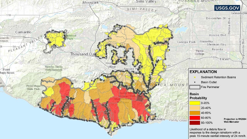
Map depicts mudslide risk in Woolsey Fire area
Thursday, November 29, 2018
A map created by the U.S. Geological Survey shows the likelihood and magnitude of debris flow when rain hits the Woolsey Fire burn areas.
USGS.gov
Report a correction or typo
Copyright © 2026 KABC Television, LLC. All rights reserved.
Related Topics
WEATHER
MALIBU
THOUSAND OAKS
LOS ANGELES COUNTY
VENTURA COUNTY
WOOLSEY FIRE
MUDSLIDE
WILDFIRE
BRUSH FIRE
EVACUATION
RAIN
STORM
Watch Live
ON NOW
Top Stories
Officers, tow trucks, buses: LAPD responds to massive street takeover
28 minutes ago
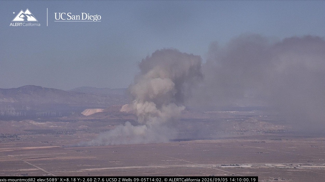
Crews make progress on 75-acre brush fire in Lancaster
2 hours ago
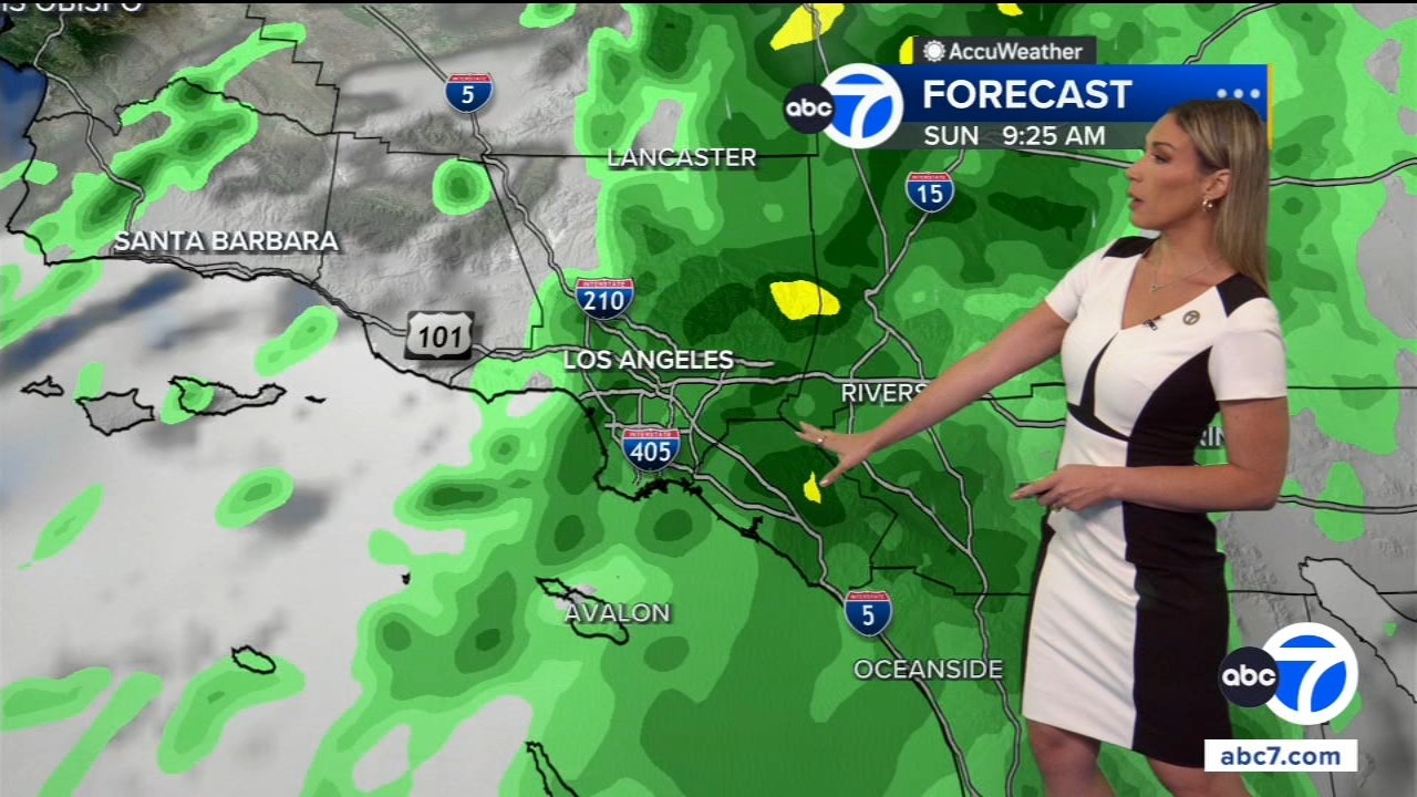
Rain chances enter SoCal over Labor Day weekend
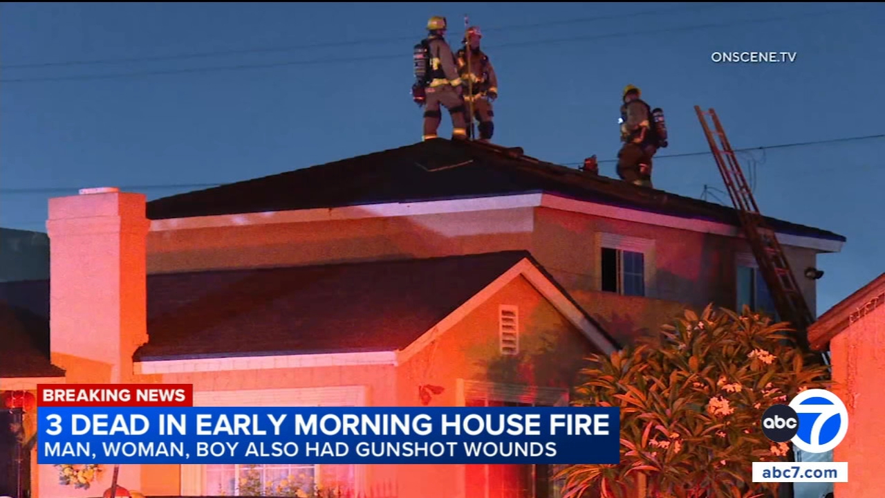
Family of 3 found dead after apparent murder-suicide at Maywood home
Lea Salonga is 1st Filipina to receive Hollywood Walk of Fame star
1 hour ago
New videos show Simi Valley police chase that ended in crash, shooting
18-year-old viciously attacked, robbed inside Hollywood 7-Eleven
Woman charged with abusing 3 girls, allegedly locking them in dog cage