Orange County burn-scar areas brace for possible floods, mud flows amid storm

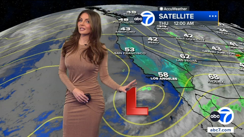
SILVERADO CANYON, Calif. (KABC) -- Burn-scar communities in Orange County are bracing for potentially dangerous conditions as another storm moves through Southern California.
Communities like Silverado Canyon have seen severe damage from mudslides during past storms after the Bond Fire left hillsides bare and unable to contain water flows.
The area did not see as much damage as feared from last week's bomb cyclone - only some mud streams and minor flooding.
Shannon Widor, strategic communications officer with Orange County Public Works said, a strong cell can trigger mudslides and debris flows.
However, residents are prepared for the unexpected.
For example, boarded up windows and sandbags outside of Bianca Kulback's Silverado home have become a permanent fixture.
"I think we're about 18 mudslides now," Kulback said.
She said the precautions she's made are necessary to protect her home anytime there's heavy rain in the forecast.
"I usually just stay home because when the mandatory evacuations come in then I can't get back into my house and I have animals," Kulback said.
In December 2021, she captured cell phone video of mud and debris spewing out of the culvert next to her property and into her driveway.
The Silverado and Bond wildfires in 2020 burned away vegetation and has made the Silverado community more prone to mud flows.
"Once the burn scar rebuilds and heals itself it won't be occurring like this," Kulback said.
Widor said OC Public Works has crews out in the canyon clearing out culverts, channels and trenches.
Kulback said it's critical that work gets done.
People who know the canyon like Sean Satterwhite said they're prepared as well.
"It's been already preplanned and taken care off," Satterwhite said ."Every once in a while there's some stuff you just have to deal with but that's what you get when you live a little bit more then out of town."
Until the storm pass through residents said they'll be keeping a close eye on water levels and the forecast.
"Doppler radar is my best friend so you have to monitor that consistently," Kulback said.
Widor said the Bond Fire burn area is just under the threshold for amount of rainfall expected every hour that would trigger a voluntary evacuation warning so they urge people to follow the forecast and to sign up for emergency push alerts at AlertOC.com.
A flood watch will also be in effect in Orange County's coastal areas, inland areas including Santa Ana, Anaheim, Garden Grove, Irvine, Orange, Fullerton and Mission Viejo, and the Santa Ana Mountains and foothills.
A high wind warning will be in effect for parts of Orange County from 4 p.m. Monday until 4 p.m. Tuesday. South to southeast winds from 15 to 25 mph with gusts from 35 to 40 mph are expected in Huntington Beach, Costa Mesa, Newport Beach, Laguna Beach, San Clemente, Santa Ana, Anaheim, Garden Grove, Irvine, Orange, Fullerton and Mission Viejo.
City News Service contributed to this report.
----
¿Quieres leer este artículo en español? Haz clic aquí


