Live updates: Storm brings flooding, stalled cars near Burbank airport

KABC logo
Last updated: Friday, February 20, 2026 1:04PM GMT
ABC7 Eyewitness News

LOS ANGELES (KABC) -- You may want to keep the rain boots and umbrellas out as the third storm to hit Southern California this week moves into the region Thursday morning, bringing more rain to areas previously affected.

Powerful thunderstorms, wind and rain battered the region just days ago, toppling over trees and leading to water rescues.

Get the latest storm timeline and developments from across the region below:

Brianna Ruffalo  Image
Feb 19, 2026, 8:08 PM

SoCal will soon get a break from wet weather

The third storm of the week is quickly moving into Southern California, bringing more rain and snow, but the region will soon get a break from the wet weather.

Light to moderate rail will continue to move east, with heavy downpours possible at times. Cold temperatures and gusty conditions with potentially damaging winds will remain even after the rain stops.

The widespread rain will begin to taper off by the early afternoon hours as it moves into the Inland Empire.

The third storm of the week is quickly moving into Southern California, bringing more rain and snow, but the region will soon get a break from the wet weather.
KABC logo
Feb 18, 2026, 1:18 AM GMT

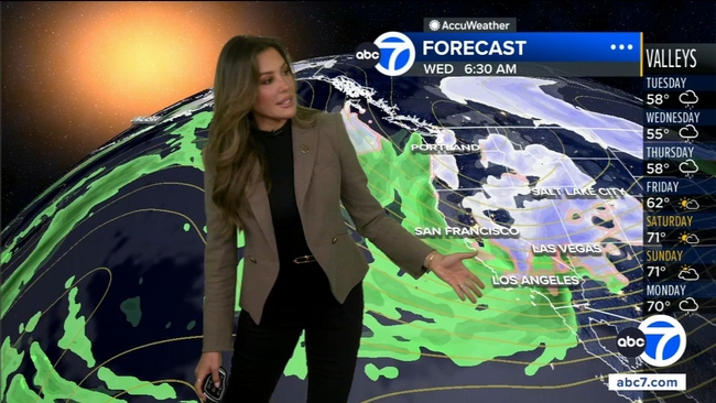
Big Bear expected to get 30 inches of snow this week

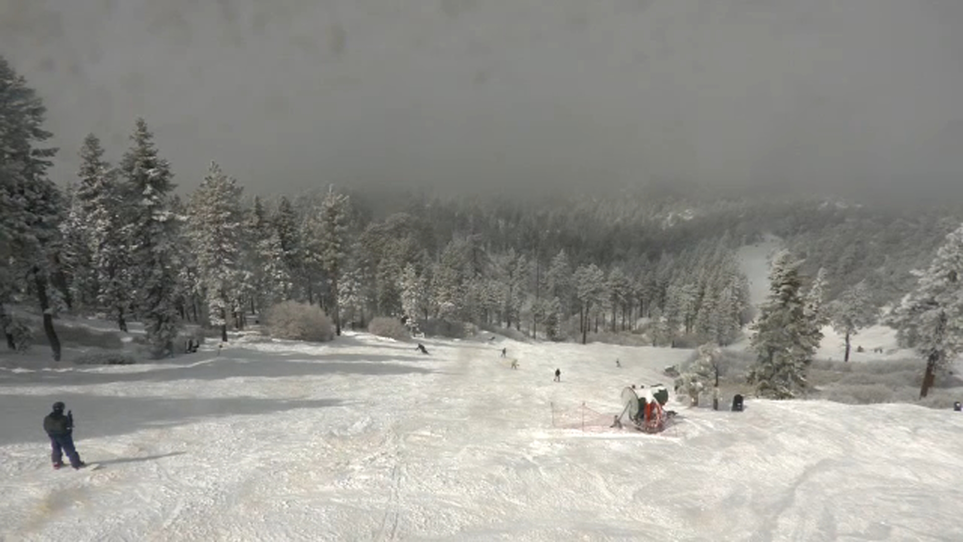
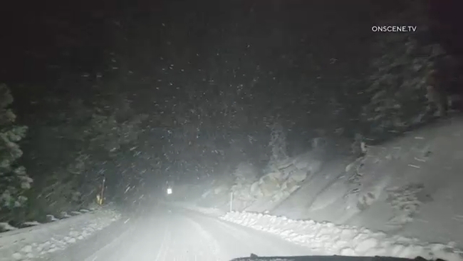
After a winter with little snowfall, communities in the San Bernardino Mountains saw conditions shift as a storm on Monday delivered measurable snow -- with more expected later in the week.

According to Big Bear Mountain Resort, the area is forecasted to get 30 inches of snow this week alone. The storms should clear out by the end of the week, making for a great ski weekend.

Winter storm warnings and alerts remain in effect across the region.

Transportation officials urged caution for anyone planning a mountain trip.

"Chain control is in effect, and these chain requirements levels change. We expect some more weather conditions this week," said Jennifer Ceron with Caltrans District 8.

Caltrans advised drivers to check road and traffic conditions through its QuickMap app before heading into the mountain communities.

KABC logo
Feb 17, 2026, 8:46 PM GMT

LA extends evacuation warnings for burn scar areas

The city of Los Angeles extended the current evacuation warnings for those living near the Palisades, Hurst and Sunset burn areas.

The warnings will remain in place "until further notice," the city said.

This comes as more rain is expected in the next coming days.

KABC logo
Feb 17, 2026, 4:28 PM GMT

SoCal getting brief lull but more rain coming

Southern California will see a brief break from the rain Tuesday, but two more storms will move through this week.

The atmosphere is still unstable, meaning light scattered showers are still possible.

Los Angeles and Southern California is getting hit with a powerful storm system that is bringing rain and snow most of the week.

While the sun might peak through by Tuesday morning, don't get used to it. Another round of storms moves in Tuesday night into Wednesday morning.

Here's the latest forecast.

KABC logo
Feb 17, 2026, 4:24 PM GMT

San Bernardino Mountains get fresh snow

Snow came down overnight in the San Bernardino Mountains.

Roads are covered with fresh powder and ice, so if you're heading up chains are a must.

All major roads are open, for now.

Snow came down overnight in the San Bernardino Mountains. Roads are covered with fresh powder and ice.

Meanwhile, if you planned to take a hike, Mt. Baldy trails are closed.

Hikers recently died there so authorities are taking no chances.

Trails closed through Feb. 23 include Mt. Baldy, Baldy Bowl, Devil's Backbone, Three T's, Icehouse Canyon, Chapman and Ontario Peak.